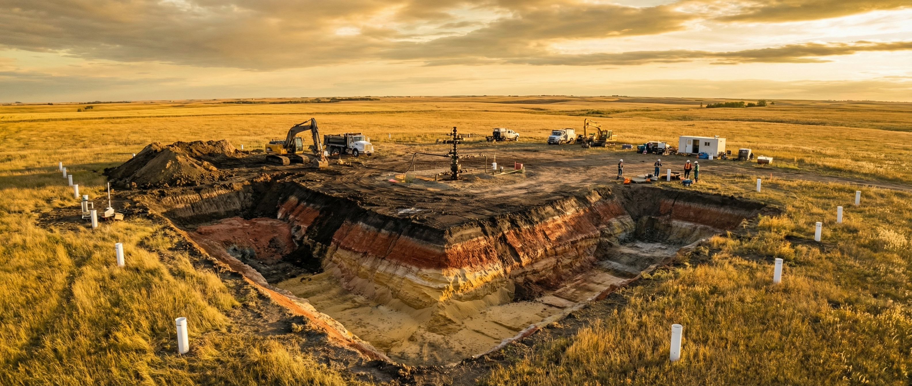
Built for Real-World Remediation
From single wellsite closures to multi-site portfolio management -- [GRYD] scales with your workload.
Simple, transparent pricing. Choose the plan that fits your workload and get started.
Select the tier that matches your project volume.
Sign in with your Microsoft account and you're ready to go.
Start analyzing sites and generating audit-ready reports.
Perfect for single-site assessments or pilot evaluations.
Ideal for consultancies managing multiple wellsite closures.
For firms running large-scale remediation and closure programs.
For operators and large consultancies with high-volume site portfolios.
What's a project? Each project maps to a single location. (e.g., one wellsite location, one spill site location, one residential location, etc.). All data uploads, analyses, pathway scenario re-runs, exceedance checks, volume calculations, and report generation for that site are included for the duration of your plan.
Absolutely. You can add more projects at any time. If you move to a higher tier, we'll apply the volume discount retroactively.
Soil, groundwater, and surface water. We're expanding to include sediment, soil vapour, and ambient air in upcoming releases.
Your plan stays active as long as your subscription is current. Inactive sites are archived after 90 days to keep your workspace clean, and can be restored at any time within your plan period.
[GRYD] supports multi-tiered guideline frameworks across jurisdictions, with more regions being added regularly.